
This post contains affiliate links, which help keep this blog free at no extra cost to you. Read my disclosure.
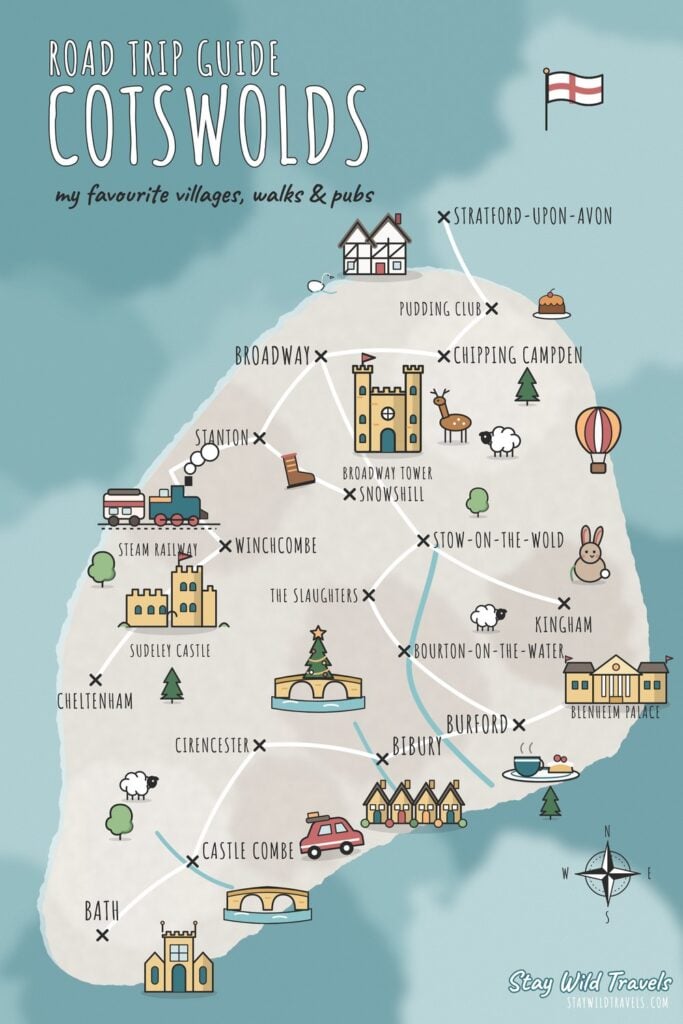
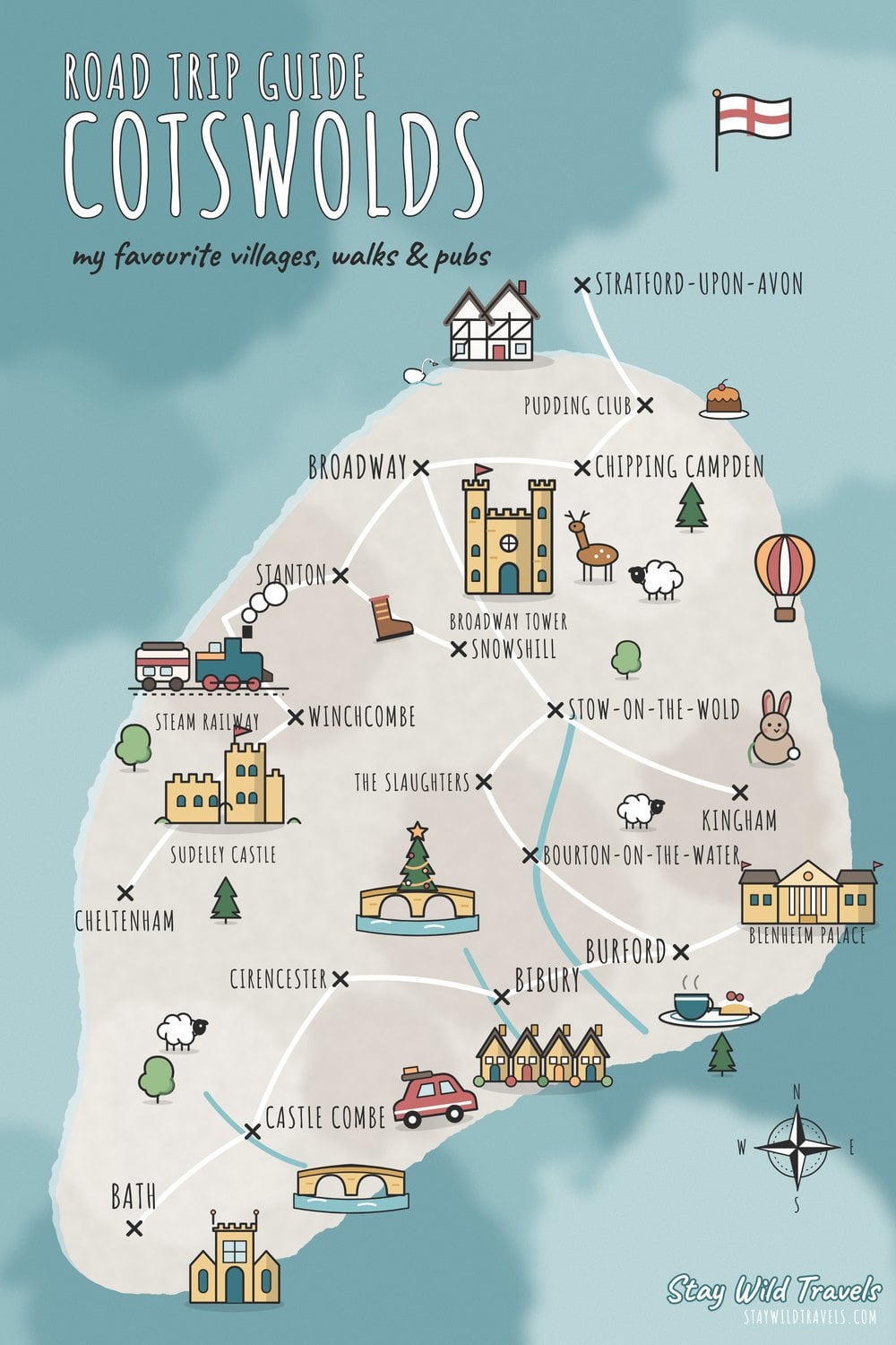
I lived in Stratford-upon-Avon for years, right on the edge of the Cotswolds, so the villages were basically my weekends. And the one thing I always wished I’d had at the start was a proper Cotswolds map. Because when you first look at the Cotswolds, it’s REALLY hard to tell what’s close to what, which villages are worth the drive, and where you should actually base yourself.
So I’ve made the map I wish I’d had. It has every village, walk, pub and day out I keep going back to, plus the place we stayed, the train stations, and a few places that are still on my list (clearly marked, because I haven’t been yet). Tap any pin for my quick tip, and use the buttons to show just the walks, just the pubs, or whatever you’re planning around.
⏰ Tight on time? These are the ones to book:
🏨 The Broadway Hotel (where we stayed)
Interactive Map Of The Cotswolds
Here it is. The teal pins are places I’ve been, the peach pins are on my list, and the white ones are train stations.
Tap a pin for my tip, and the ones with a “Read my guide” link go straight to the full post. On a phone, use two fingers to move the map around.
A few things jump out as soon as you see it all on one map. The north Cotswolds villages (Broadway, Chipping Campden, Stanton and Snowshill) are all within about 15 minutes of each other. The Bourton, Slaughters and Stow trio sits about 20 to 30 minutes further south. And Castle Combe is off on its own down near Bath, which is why I visited it less often than the others, even though it’s one of my favourites.
Printable Cotswolds Map (Free PDF)
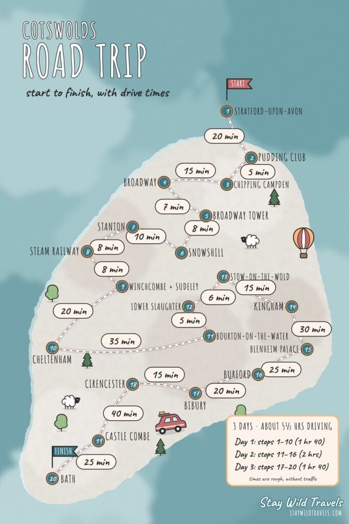
If you want a map you can print out or save to your phone, I’ve put both of my illustrated maps into one free PDF: the villages, walks and pubs I love on the first page, and my 20-stop road trip from Stratford-upon-Avon to Bath, with drive times, on the second.
For proper walking, an Ordnance Survey map is still the best thing to carry. The OS Explorer OL45 map covers the central Cotswolds, so check the edges of the sheet against the walk you’re planning.
Where Are The Cotswolds?
The Cotswolds is a big area of rolling hills and honey-coloured stone villages in the middle of England, roughly between Stratford-upon-Avon in the north and Bath in the south. It’s about two hours’ drive west of London and under an hour from Oxford or Birmingham.
It’s not a county, which confuses loads of people. It’s a protected landscape (it used to be called an Area of Outstanding Natural Beauty and is now the Cotswolds National Landscape) that covers 790 square miles and spreads across Gloucestershire, Oxfordshire, Warwickshire, Worcestershire, Wiltshire and Bath.
| Distance by car (roughly) | Time |
| London to Bourton-on-the-Water | About 2 hours |
| Oxford to Burford | About 30 minutes |
| Birmingham to Broadway | About 1 hour |
| Bath to Castle Combe | About 25 minutes |
| Stratford-upon-Avon to Broadway | About 30 minutes |
Which County Is Each Cotswold Village In?
This trips loads of people up when booking, so here’s where the places on my map actually sit.
| County | Towns and villages on my map |
|---|---|
| Gloucestershire | Bibury, Bourton-on-the-Water, Lower and Upper Slaughter, Stow-on-the-Wold, Chipping Campden, Winchcombe, Snowshill, Stanton, Cirencester, Cheltenham |
| Oxfordshire | Burford, Kingham, Woodstock (Blenheim Palace) |
| Worcestershire | Broadway and Broadway Tower |
| Wiltshire | Castle Combe |
| Bath and North East Somerset | Bath |
| Warwickshire | Stratford-upon-Avon, just outside the northern edge |
The Cotswolds By Area
When I’m planning a trip for friends, I always split the Cotswolds into three areas. It stops you spending half the weekend in the car.
The North Cotswolds: Broadway, Chipping Campden And Stanton
This is the area I know best, because it was closest to Stratford. Broadway is the one I’d choose as a base: it’s small and lively without that overcrowded feeling, and you can walk up to watch the sunset at Broadway Tower. I’ve been more times than I can count, and we’d often spot deer in the park around it.
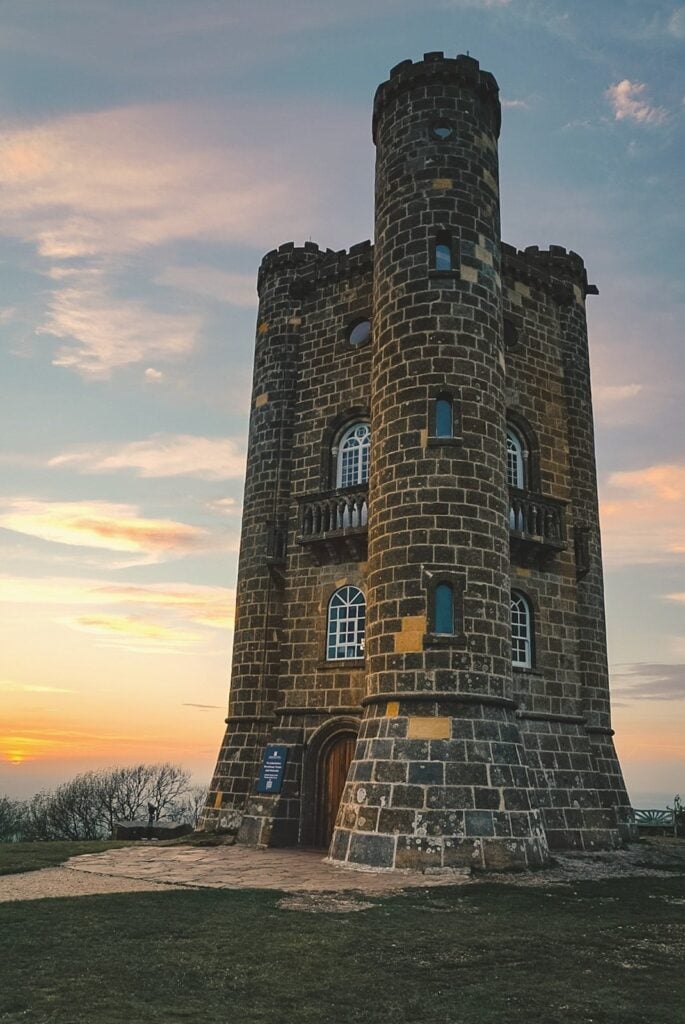
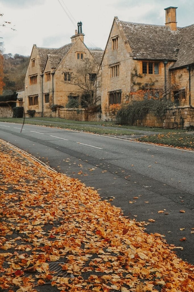
Chipping Campden is just up the road, with one long honey-stone high street and the start of the Cotswold Way. I didn’t get there as often as Broadway, but I always loved it when I did. And Stanton is where one of my favourite walks starts, a muddy loop through Snowshill and Stanway that ends at The Mount Inn. Further south-west, Winchcombe has Sudeley Castle and the steam railway.
The Central Cotswolds: Bourton, The Slaughters, Stow, Kingham And Burford
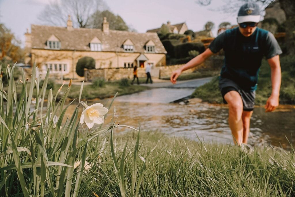
This is the busiest part of the Cotswolds, and the one most people picture. Bourton-on-the-Water gets packed, so we always parked outside the village and walked in (about 10 minutes). Lower Slaughter is one of our favourite places for a riverside picnic, and Stow-on-the-Wold is the one I go to for a wander around the square, a bit of browsing and a pub break.
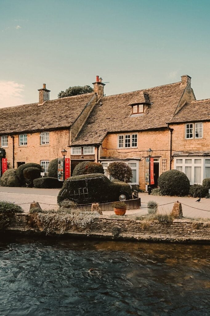
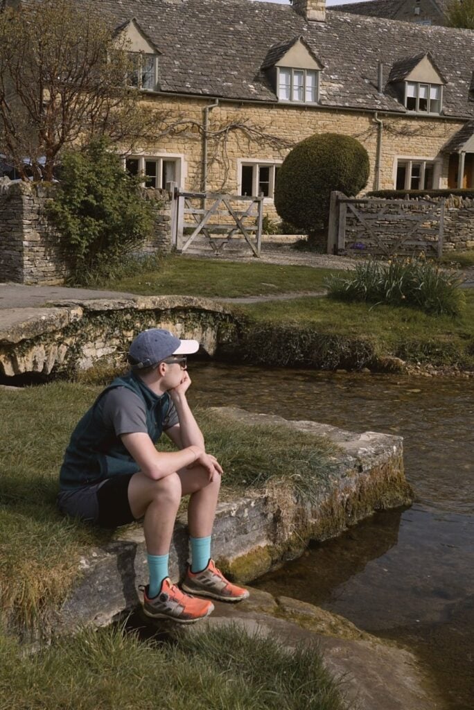
Kingham is my idea of a perfect foodie day: Daylesford farm shop in the morning, then the roast chicken at The Wild Rabbit, which is the best roast I’ve had anywhere in the Cotswolds. And Burford is best in the late afternoon, staying on as it gets dark, with a cream tea at Huffkins first.
The South Cotswolds: Bibury, Castle Combe And Bath
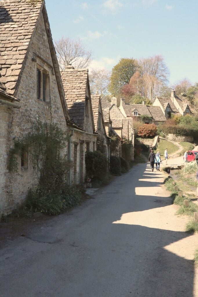
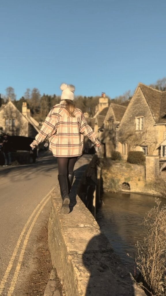
For me, Bibury is the prettiest village in the Cotswolds, and we always stayed for a Sunday roast at The Swan or The Catherine Wheel. Castle Combe runs it VERY close, but it’s a lot further south. The last time I went was on a sunny weekday with my sister, and even then the bridge photo spot was full of people, so go early if you want the shot.
Bath is right at the bottom of the Cotswolds and makes a great add-on, especially for the Christmas market. There’s more on the festive side in my guide to the Cotswolds at Christmas.
Map Of The Cotswold Villages
If you’re mainly planning around the villages, show just the 🏡 villages on the map above. I’ve written about each of them properly (where I park, eat and stay) in my guide to the best villages in the Cotswolds, which also has a 2-day route linking them all up.
The short version: Bibury and Castle Combe for the prettiest, Broadway for a base, Bourton for families, Burford at dusk, and Stanton and Snowshill if you want to walk.
Cotswolds Walking Map
Tap 🥾 Walks and views on the map to see my favourite routes:
- Stanton, Snowshill and Stanway circular: about 10km and 3 hours. The first 20 to 30 minutes out of Stanton is a steep climb, but I found it very manageable with moderate fitness. Do it in reverse if you want to finish at the pub.
- Broadway Tower from Broadway village: up the hill on the Cotswold Way. Wear proper boots, because I’ve fallen flat on my bum on the way back down more than once lol.
- Dover’s Hill: panoramic views just outside Chipping Campden. We park for free near St Catherine’s church and join the Cotswold Way from there.
- The Cotswold Way: the Cotswold Way National Trail runs 102 miles from Chipping Campden to Bath. I’ve only done short sections of it, so the start and end are pinned to show you how far it stretches.
All the routes, with maps and distances, are in my guide to the best Cotswolds walks.
Driving Times Between The Main Villages
A car is by far the easiest way to see the Cotswolds. We always drove, and most villages are only 10 to 20 minutes apart. Just take it slowly: some of the roads around Bourton and the Slaughters are really narrow and windy, so be ready to pull in for oncoming cars. These times are without traffic, so allow longer on summer weekends.
| Route | Drive |
|---|---|
| Broadway to Broadway Tower | 7 minutes |
| Broadway to Stanton | 7 minutes |
| Broadway to Dover’s Hill | 9 minutes |
| Broadway to Chipping Campden | About 15 minutes |
| Broadway to Sudeley Castle | 17 minutes |
| Stow-on-the-Wold to Lower Slaughter | 6 minutes |
| Stow-on-the-Wold to Daylesford | 9 minutes |
| Stow-on-the-Wold to Bourton-on-the-Water | 10 minutes |
| Burford to Bibury | 20 minutes |
| Broadway to Bourton-on-the-Water | About 30 minutes |
| Bibury to Castle Combe | About 50 minutes |
Car hire for the Cotswolds is easiest to pick up in Oxford, Cheltenham or at the airport if you’re flying in.
Train Stations In The Cotswolds
We always drove, so I haven’t done the Cotswolds by train myself. But if you don’t have a car, these are the stations to know. Tap 🚆 Train stations on the map to see where they are.
| Station | Good for |
|---|---|
| Moreton-in-Marsh | Stow, Bourton, Chipping Campden. Trains from London Paddington (direct) |
| Kingham | Kingham, Daylesford, Stow. Trains from London Paddington (direct) |
| Charlbury | The eastern Cotswolds. Trains from London Paddington (direct) |
| Evesham | Broadway. Trains from London Paddington and Worcester |
| Cheltenham Spa | Winchcombe, Sudeley Castle. Trains from Birmingham, Bristol, London |
| Kemble | Cirencester, Tetbury. Trains from London Paddington via Swindon |
| Bath Spa | Bath, Castle Combe. Trains from London Paddington, Bristol |
| Stratford-upon-Avon | Stratford, the north Cotswolds. Trains from Birmingham, London Marylebone |
Kingham is about 1.5 hours from London Paddington, and the village has The Wild Rabbit and Daylesford, so it’s the easiest car-free day out. You can compare trains on Omio. From the stations you’ll need taxis or local buses, which are limited (the official Cotswolds travel page lists the bus routes), so a private villages tour from Moreton-in-Marsh is a good shortcut.
Or if you’re coming from London and don’t want to drive at all, a small-group Cotswolds day tour from London covers several villages in a day.
How I’d Use This Map To Plan A Trip
For a day trip, pick one area and stick to it. My favourite day is the north: the Stanton walk in the morning, lunch at The Mount Inn, a wander around Chipping Campden, then sunset at Broadway Tower.
For a weekend, base yourself in Broadway and do the north on day one, then drive down to Bourton, Lower Slaughter, Stow and Bibury on day two, finishing with a cream tea in Burford. It’s the route in my 3-day Cotswolds itinerary, which has the full plan with where to eat and park.
In winter, it’s the same map but with pub fires and Christmas lights. I actually think I prefer the Cotswolds in winter to summer, and my guide to the Cotswolds in winter has the cosy version.
The Broadway Hotel (Where We Stayed)
We stayed at The Broadway Hotel, right on the village green in Broadway. It’s my favourite place to stay in the Cotswolds, and being in the middle of the village meant we could walk to dinner on the high street and up to Broadway Tower for sunset.
Check prices:
Cotswolds Map FAQs
What counties are the Cotswolds in?
The Cotswolds spreads across Gloucestershire, Oxfordshire, Warwickshire, Worcestershire, Wiltshire and the area around Bath. Most of the famous villages, like Bourton-on-the-Water, Bibury and Stow-on-the-Wold, are in Gloucestershire.
How big is the Cotswolds?
The Cotswolds National Landscape covers 790 square miles, from Chipping Campden in the north to Bath in the south. That’s roughly 70 miles from top to bottom, so it’s best to explore one area at a time.
How far are the Cotswolds from London?
The nearest Cotswold villages are about 2 hours from London by car. By train, Moreton-in-Marsh and Kingham are about 1.5 hours from London Paddington.
Where is the best place to stay in the Cotswolds?
Broadway is my pick for a base in the north, with Broadway Tower and lots of villages within 15 minutes. For the south, Bibury or Burford work well.
Which is the prettiest village in the Cotswolds?
I think Bibury is the prettiest village in the Cotswolds, with Castle Combe a very close second. Arlington Row in Bibury is the most famous view.
Can you visit the Cotswolds without a car?
Yes, but it’s harder. Trains run from London Paddington to Moreton-in-Marsh, Kingham and Charlbury, and local buses are limited. A day tour from London is the easiest way to see several villages without driving.
Is there a printable map of the Cotswolds?
Yes. You can download my free printable Cotswolds map as a PDF from this post. It has an illustrated map of the villages and a road trip route from Stratford-upon-Avon to Bath with drive times.
Where are the Cotswolds in England?
The Cotswolds are in south-central England, roughly between Stratford-upon-Avon in the north and Bath in the south, and about two hours west of London.
More Cotswolds Guides
All my Cotswolds posts are in one place in my Cotswolds travel guide. If you’re planning a trip with this map, these are the ones I’d read next:
- Cotswolds in Winter: 16 Cosy Things to Do
- Best Villages in the Cotswolds
- Cotswolds Itinerary: 3 Days From A Former Local
- Best Cotswolds Walks
More guides you might like



Written by
Millie Austin
Hi, I'm Millie, a Brit who swapped a London desk job for life in Lima, Peru. Every guide on Stay Wild Travels comes from my own trips, from hiking the Cotswolds and the Peak District to the Swiss Alps and the Andes, with the honest bits included.